DESCRIPTION
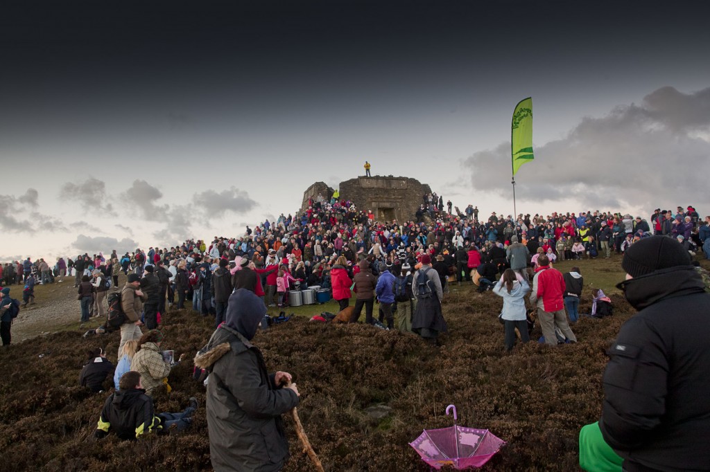
Bless’d Pile is Chris Oakley’s multimedia project commissioned to celebrate the 200th anniversary of the Jubliee Tower, located at the summit of Moel Famau, North Wales. The project has both a physical presence at the site and a virtual element in the form of a Google map. The map charts the historical, cultural and poetic relationships of the tower to reference points across the globe, and is designed to facilitate engagement with the public in addition to school groups, who are invited to submit images, text, sound and video to populate these links.
BBC report on the event: http://www.bbc.co.uk/news/uk-wales-11617447
THE EVENT
The installation at the tower itself was started on the 24th October 2010, and involved the reinstatement of the collapsed portion of the Jubilee Tower with a vertical beam of light, visible for distances of many miles during the hours of darkness. This design was intended to offer a nighttime interpretation of the experience of looking across the Vale of Clwyd from the ridge of the mountain, and particularly by the kinetic qualities of light which can be observed; the interaction of the clouds and sunlight often creates dramatic beams, and the shadows of clouds can be observed moving across the valley floor for many miles. The project is designed to reflect some of these daytime qualities by night; the light tower’s qualities will change according to weather conditions, giving very different appearances in rain, cloud, and clear conditions. In addition to this central feature, lasers were be used to transpose the links defined via the google map back into the real world for the celebration event.